- Day 186: November 16, 2016
- Hike 51: Where Utes Once Roamed
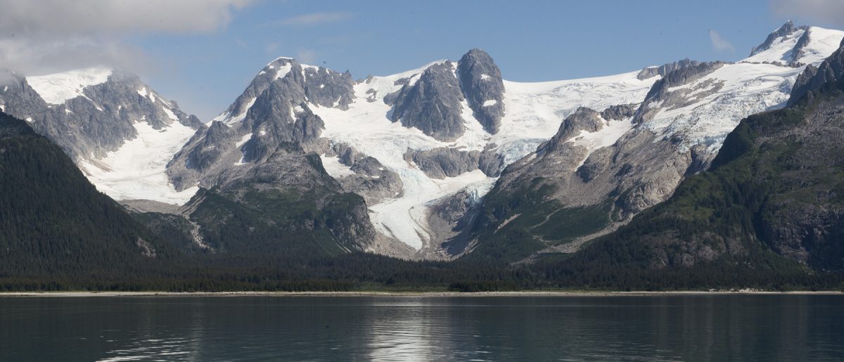
- Location: Lincoln Mountain Open Space
- Distance: 4.5 miles
- Cumulative Distance (Hikes and Other Short Walks): 421.12 miles
I have been interested in the history of the Ute People for a long time. The Utes were the first continuous occupants of the beautiful mountains, foothills, valleys, and high plains of Colorado as well as parts of Utah, New Mexico, and Arizona. They were the original Mountain People in these areas, and they believe that their ancestors lived here from the beginning. Traditionally, the Utes roamed throughout the region in family units or sometimes larger bands, especially after their acquisition of horses from the Spanish. Throughout the year, the Ute People traveled to different environments based on their knowledge of the availability of food, water, or sheltered areas. Both their culture and their spiritual beliefs are closely tied to this land–indeed, they are inseparable. The arrival of the Spaniards in New Mexico in the 1600’s and the advent of white explorers, missionaries, hunters, and eventually settlers and armed troops over the next two centuries had a huge impact on the lives of these previously peaceful and isolated people. However, the Utes attempted to continue their traditional lifestyle as best they could for as long as they were able.
Unfortunately, in the late 1800’s, our federal government, continuing a long established pattern of broken treaties and disregard for Native Americans, forced the Ute People to leave the land of their ancestors behind and move onto three newly created reservations, two in the southwestern corner of Colorado, and one in Utah. And what has happened to those ancestral homelands since? Those who came after the Utes have left an imprint on this beautiful land that is disturbing. Rivers where Utes once fished have been polluted by mining and industry or diverted by dams to create water supplies for homes, industries, or agriculture. Trees that the Utes consider sacred have been cut down for wood to build homes for our growing population. Housing developments and shopping malls now creep across the prairies where Ute hunters once searched for bison on annual hunting trips in order to feed their families throughout the long, cold, Colorado winters. Wildlife and man must now compete for use of the remaining open land. All of this, of course, is called “progress.”
And yet, the spirit of the Utes still remains throughout the sacred mountains and foothills of Colorado. How can we all help to preserve some of the remaining open space so that future generations, both the descendants of the Utes who once lived here and our own descendants, can enjoy walking quietly on a dirt trail instead of a paved sidewalk, observing wildlife in its natural environment, standing in the shade of towering trees that have survived for generations, and observing native plants in bloom? We can begin by teaching our young people the history of this land and the people who lived here before us. We can encourage our children and grandchildren to love the outdoors and preserve wildlife and native plants. We can go outdoors with them and participate in activities that will help them develop an understanding of the importance of land conservation. Here in Douglas County, the Douglas County Division of Open Space and Natural Resources and the Douglas Land Conservancy (DLC) partner to preserve and protect open spaces. We can participate by using this land in an environmentally conscious way, by volunteering our time, or by donating our financial resources so that additional conservation easements on both public and private land can be purchased. These things will not bring the Utes back to their traditional homeland, but they will help to ensure that there will be opportunities in the future for all of us to join together to honor each other’s cultural and spiritual beliefs and share our love for the land.
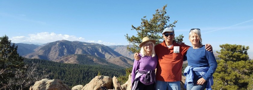
And so, on this warm November morning, I led a Douglas Land Conservancy hike at Lincoln Mountain, just one of several protected open spaces in Douglas County where long ago the Utes set up seasonal camps in order to hunt for antelope or bison to feed their families. Today I invited the members of our hiking group to remember the Utes who came to the area where we were walking for hundreds of years before European settlers arrived. Why did the Utes come here? What might it have meant to them? How does this area differ today from the way it would have looked when the Utes were here? Why should we protect special open spaces like this? How can we encourage a new generation to continue the land conservation efforts that our generation has started? That was the focus of this hike, and I leave it to each of the hike participants and anyone who is reading this post to answer those questions in his or her own way.

————————————-
- Day 185: November 15, 2016
- Hike 50: The Road Less Traveled
- Location: Upper Cheyenne (above Perry Park) and Side Road
- Distance: 4.5 miles
- Cumulative Distance (Hikes and Other Short Walks): 416.62 miles
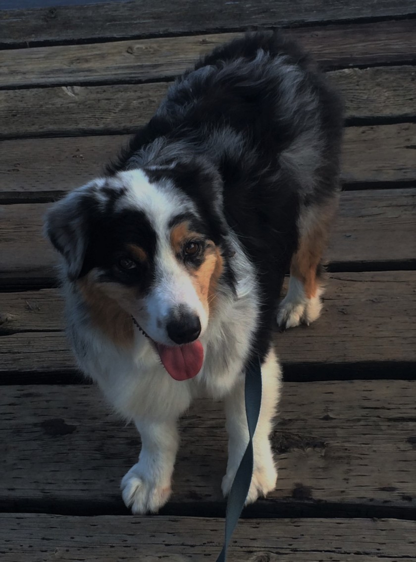
Today Ransom and Sophie (my canine companions) and I hiked up Cheyenne Road and a side road that I had not hiked for many years. At the end of the side road, we encountered an archer who was target practicing in the woods. He and I had an interesting conversation about the history of the area. Other than that, it was a peaceful and uneventful hike.